What Actually Controls GPS Accuracy?
Consumer GPS accuracy comes down to four things: how many satellites your receiver can see, how well those satellites are spread across the sky (measured as DOP — dilution of precision), how much of the signal arrives bounced off rock or buildings instead of directly (multipath), and the quality of the receiver itself. Under open sky, a modern phone or handheld typically lands within 3–5 meters horizontally — GPS.gov puts the signal's own contribution at under 2 meters, with the rest added by your receiver and surroundings. In a slot canyon or dense forest, the same device can be off by 20–30 meters or more, and the elevation reading degrades roughly twice as fast as the horizontal one.
HDOP and VDOP: Geometry You Can Read
DOP numbers describe how favorable the satellite layout is at this moment, from your position. Satellites clustered in one patch of sky give the receiver poorly-intersecting distance measurements — like trying to pinpoint a spot from three bearings taken almost in the same direction. Spread satellites give crisp intersections. HDOP scores that geometry for horizontal position, VDOP for vertical, and many handhelds display one or both on their satellite page.
| DOP value | Geometry | What it means in the field |
|---|---|---|
| < 2 | Excellent | Trust the fix; this is open-sky behavior |
| 2–5 | Good | Normal hiking conditions; fine for navigation |
| 5–10 | Moderate | Expect visible wander; double-check junction calls |
| > 10 | Poor | Fix is a suggestion — confirm against terrain or map |
DOP multiplies the underlying measurement error: the same receiver noise that produces a 3 m error at HDOP 1.0 produces roughly 15 m at HDOP 5. VDOP is almost always worse than HDOP because every satellite you can see is above you — there are no signals coming from below the horizon to balance the vertical solution. That asymmetry is the root reason GPS elevation is so much noisier than GPS position.
Where the Meters Go: The Error Budget
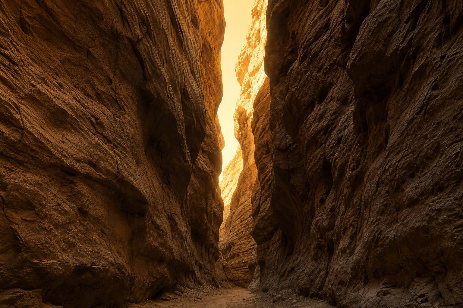
- Obstruction. Canyon walls, cliffs, and your own body block satellites outright, shrinking the visible constellation and inflating DOP. A canyon that hides two-thirds of the sky routinely pushes fixes 20+ meters off.
- Multipath. Signals reflect off rock faces and arrive late, so the receiver computes distances that are subtly too long. This is the classic source of tracks that "climb the canyon wall" beside the real trail.
- Canopy. Wet foliage attenuates the already-faint signal; dense forest behaves like a leaky canyon.
- Atmosphere. The ionosphere delays signals variably; modern multi-frequency receivers cancel most of this, older single-frequency ones cannot.
- Receiver quality. Antenna size matters. A handheld's patch antenna generally outperforms a phone held flat in your pocket, though modern phones with multi-constellation chips (GPS + GLONASS + Galileo + BeiDou) have closed most of the gap in the open.
Getting a Better Fix
- Give it sky. Step away from walls and out from under canopy before trusting a reading; even 20 meters of position change can transform the visible constellation.
- Give it time. A receiver refines its solution over the first 30–60 seconds of standing still. The first fix after power-on is the worst one.
- Hold it well. Screen up, away from your body. Your torso is an effective satellite blocker.
- Check the satellite page. If your device shows HDOP or an accuracy-radius estimate, glance at it before recording a critical waypoint at a junction, cache, or water source.
- Average important points. Many devices and apps can average a waypoint over a minute of readings — the cheapest accuracy upgrade there is.
Seeing Signal Errors in Your Own Tracks
Recorded tracks carry the fingerprints of every problem above. Drop a file into the free GPX Analyzer and look for the tells: speed spikes that no vehicle could produce (multipath jumps), a track that zigzags across a trail you walked straight down (high DOP wander), and elevation spikes hundreds of meters tall (vertical multipath). The analyzer's elevation-gain figure uses a hysteresis filter precisely so that this noise doesn't inflate your climbing totals, and the GPX Track Editor can cut the offending points if the profile matters.
One error class this guide deliberately leaves out: a track that is consistently shifted off the map by tens or hundreds of meters is usually not a signal problem at all — it's a datum mismatch. Datum 101 covers that failure mode.
Frequently Asked Questions
What is a good HDOP value for hiking?
Anything under 2 is excellent and under 5 is fine for trail navigation. Above 5, treat junction calls and recorded waypoints with suspicion and confirm against terrain; above 10, the fix is unreliable.
Is a phone's GPS less accurate than a dedicated handheld?
Under open sky, no — modern multi-constellation phone chips match handhelds within a few meters. Handhelds pull ahead in bad conditions (canyons, canopy) thanks to better antennas, and they hold that accuracy for days on batteries. See our GPS device vs. smartphone comparison for the full trade-off.
Why is my recorded elevation so much worse than my position?
Satellite geometry: all visible satellites sit above the horizon, so the vertical solution is one-sided. VDOP typically runs 1.5–2× HDOP, and elevation error runs roughly twice horizontal error as a result. Why GPS elevation differs everywhere covers what this does to gain totals.
Do more satellite constellations mean more accuracy?
Mostly yes. Tracking GPS plus GLONASS, Galileo, and BeiDou multiplies the satellites in view, which improves geometry (lower DOP) exactly where it matters — obstructed terrain where any single constellation is down to a handful of usable signals.